Podcast
Short History Of...
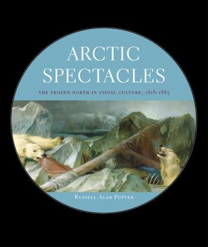
In the episode, the professor highlighted how the book examined early Arctic maps that portrayed the region as a neat, symmetrical pizza‑like layout, which misled explorers about its true geography. He explained that the book showed the discrepancy between imagined and actual geography and how it took time for explorers to understand the irregular reality. The discussion conveyed a positive appreciation for the book's insights.
Episode: The Northwest Passage
The author, a professor of English, discussed the early maps of the Arctic and how they depicted the area as more symmetrical than it actually was, impacting early explorers' understanding of the region.
If you look at the Mercator maps and some of the other maps of that era, the maps of the pole usually show like a pizza that's neatly divided into four pieces with open water of some kind between those.
And I think that the fact that actual geography is so much less symmetrical and predictable than the imaginary ones was, took a while to grasp.